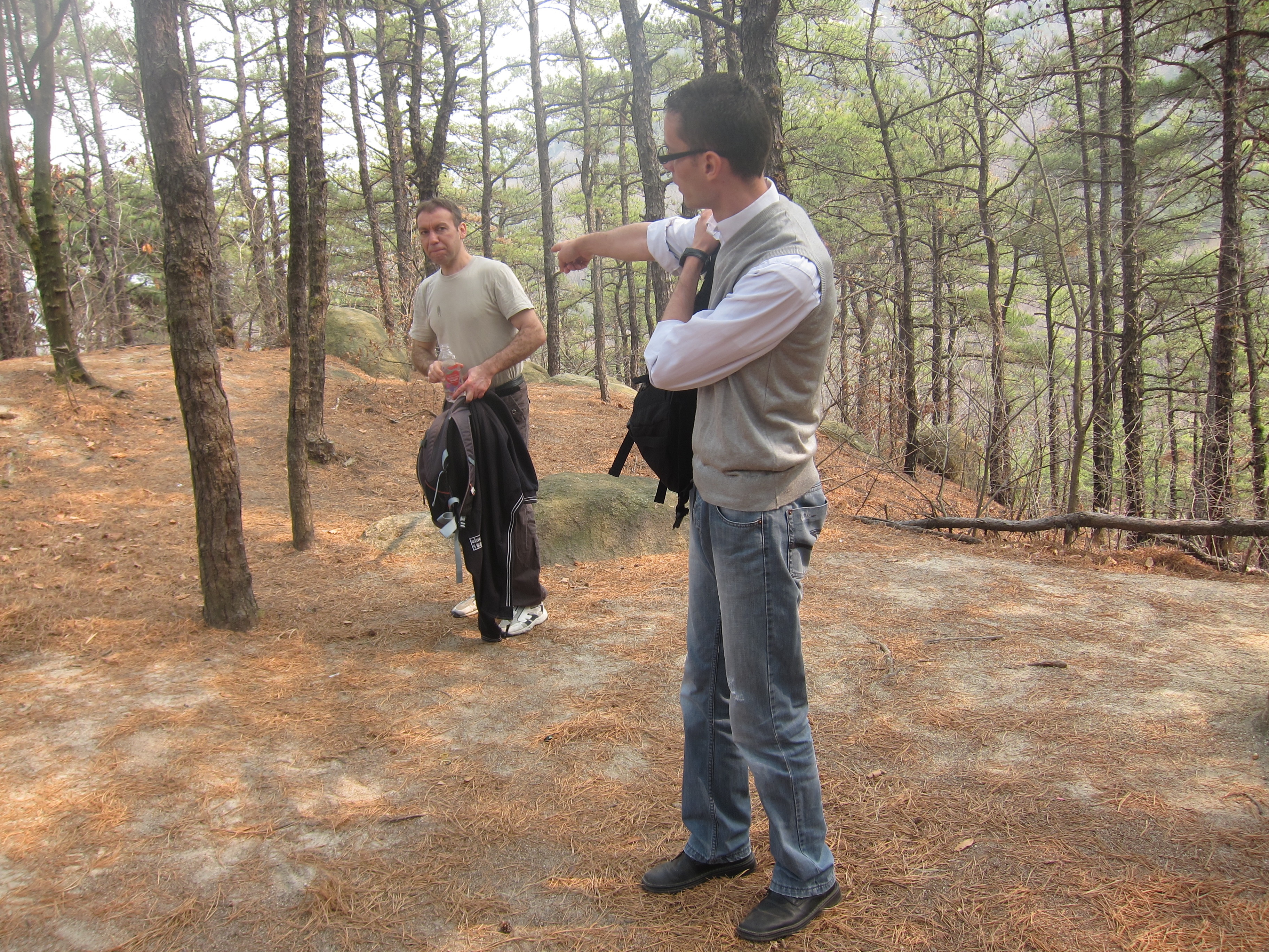
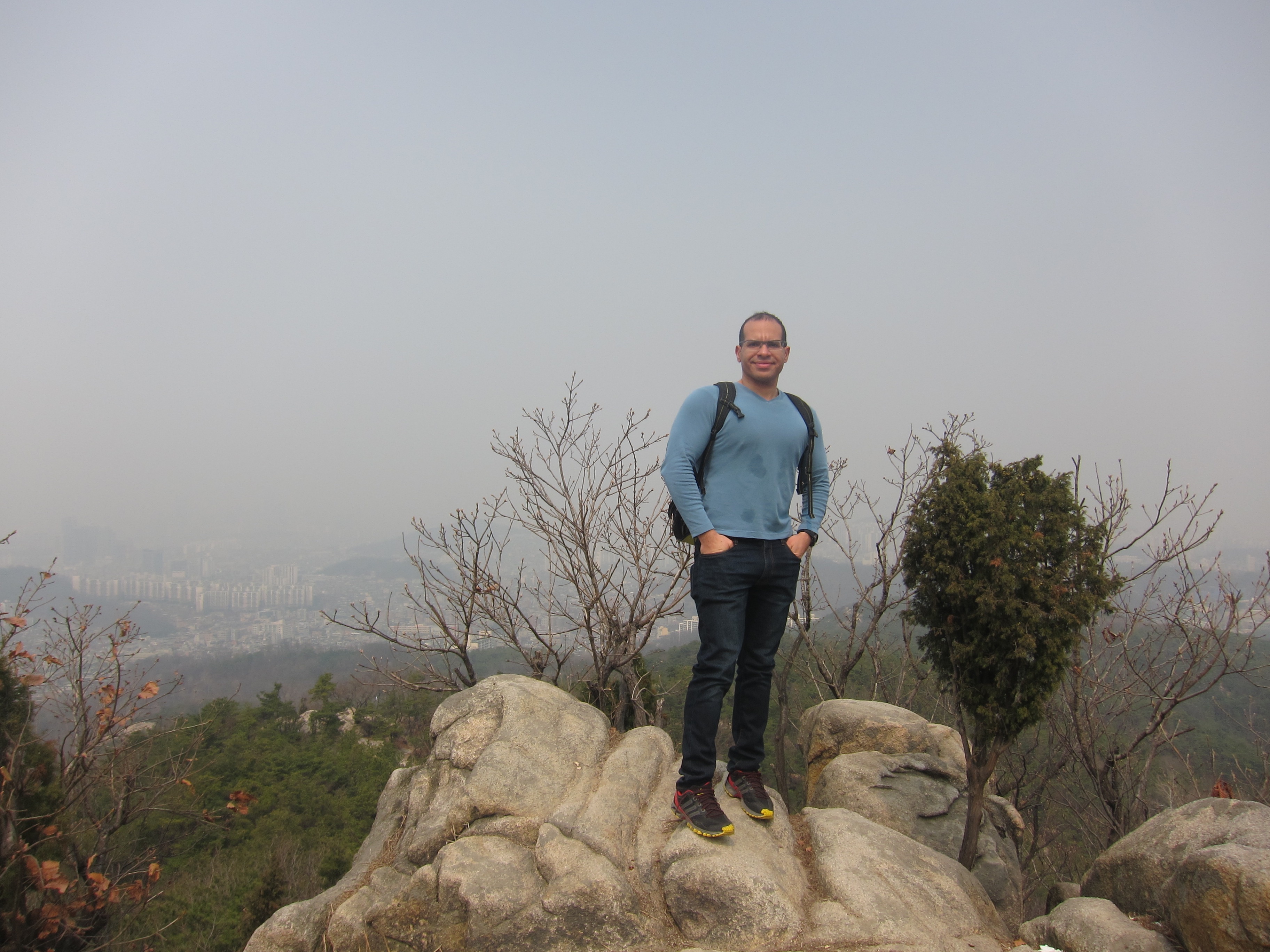
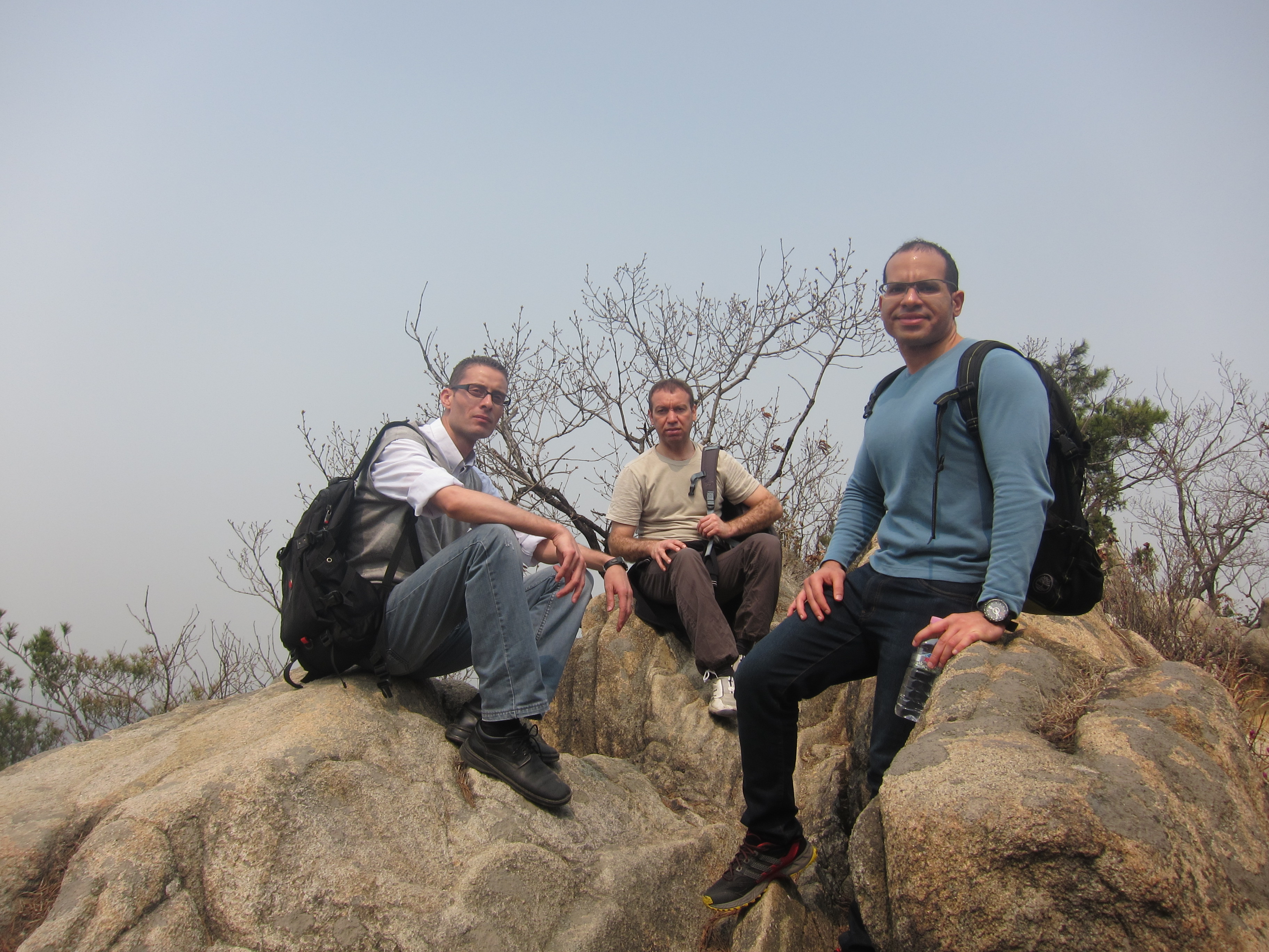
Let me take you to Seoul and right after graduation I went with my friends to hike one of the most famous mountains in South Korea, on March 2014 Feras ,Jack (lol) and myself went on a hiking trip to this beautiful mountain of Gwanakasan near Geumcheon-gu districts of Seoul and other portions lie in the neighboring cities of Anyang and Gwacheon.
Distance: about 4km
Elevation: 2.063 feet (629 meters)
Difficulty: Moderate
Trailhead: Metro line #4 to Gwacheon Station. Then walk (directions at the bottom)
Hiking in Seoul, Ready for the journey!
I love hiking and Korea’s love of hiking was one of the main reasons I chose to come here over other countries. Trails are very easy to get to, public transportations are fast, affordable, and the people are very friendly.
Gwanaksan first came to my attention while I was looking at Google Maps and it caught my eye because of how close it is to Suwon. This surely prompted me to look for more information about how to get there and the Korea travel site pulled through for me.
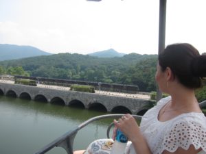
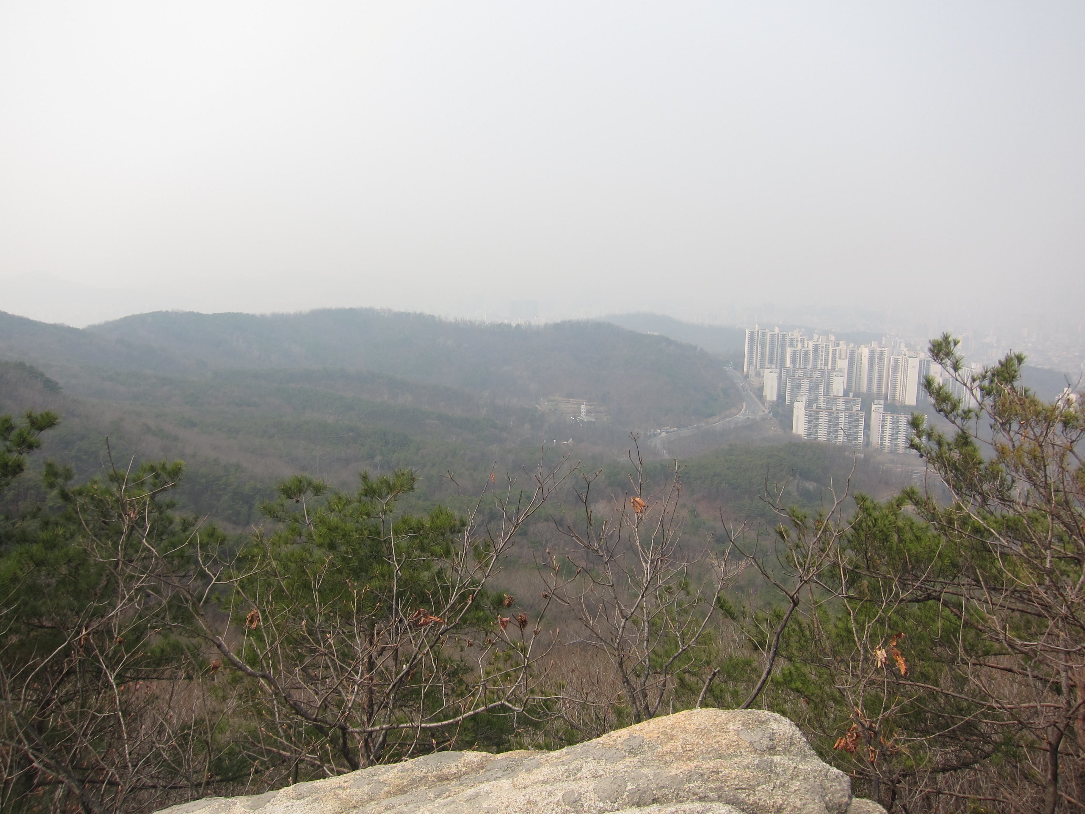
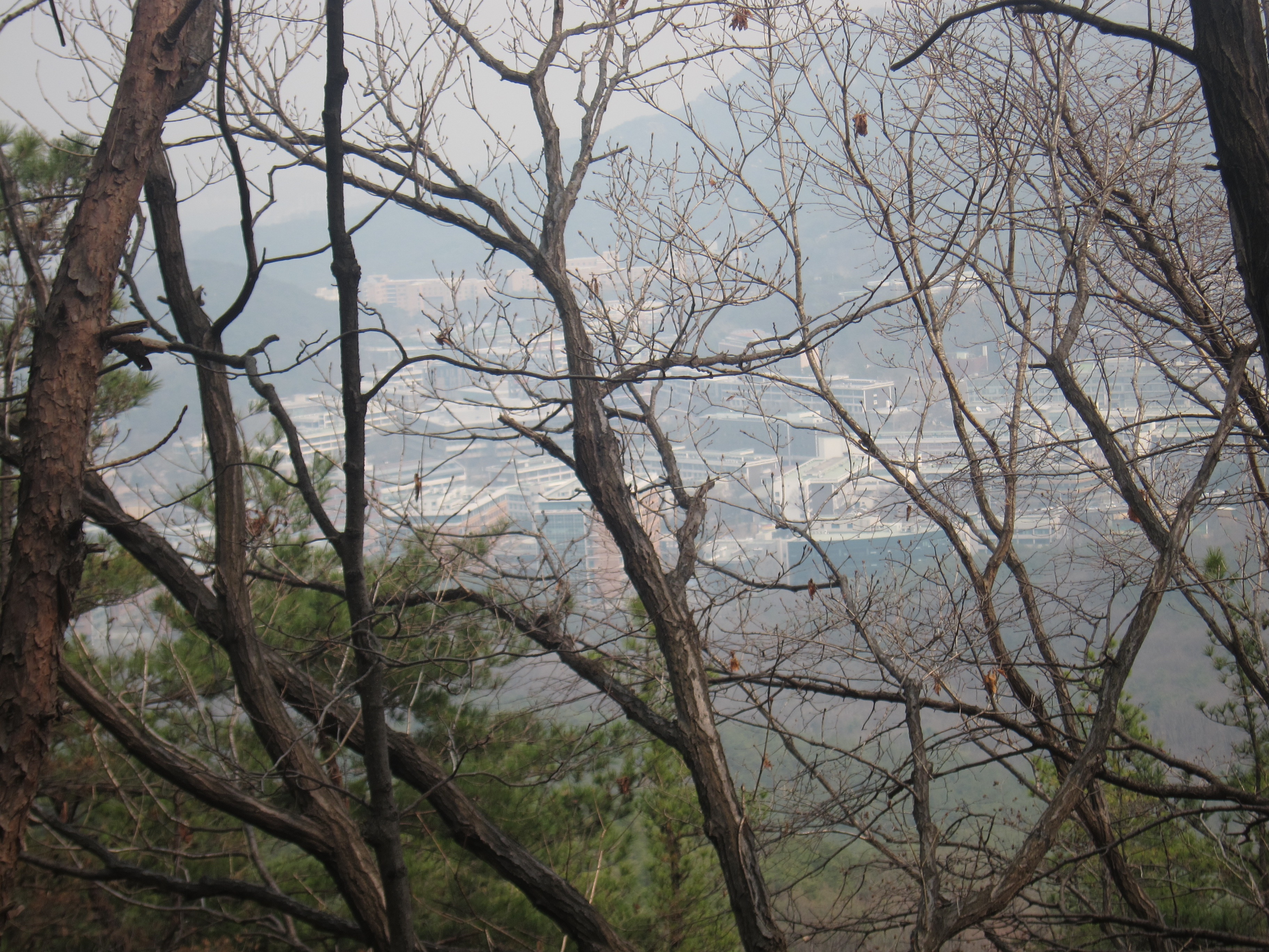
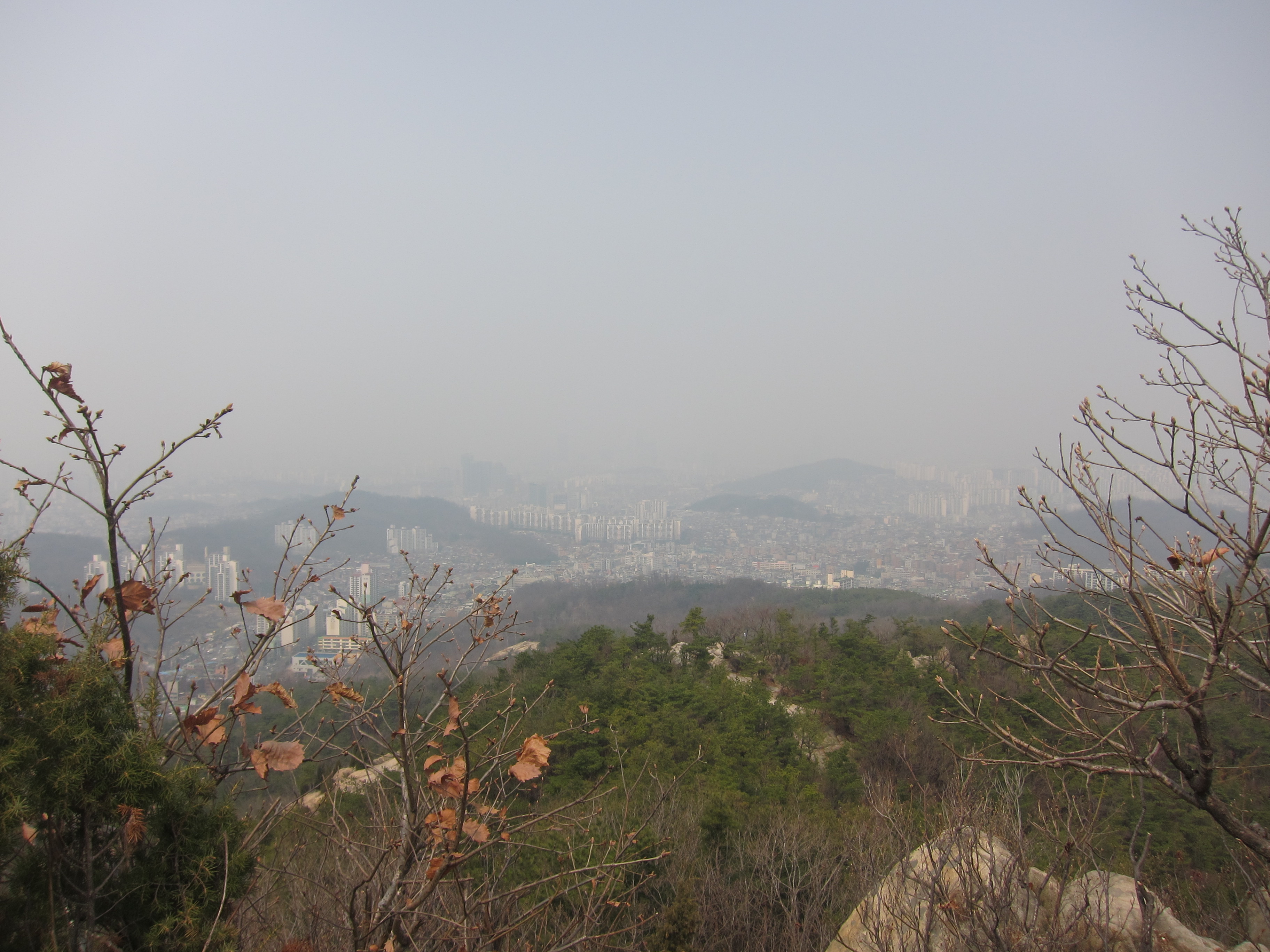
Other than being close by, Gwanaksan caught my interest because of the sweeping view of Seoul you’ll be treated to at the summit. Plus, you can visit a Buddhist temple and Yeonjudae which you can see in the photo above.
Gwanaksan mountain, How to Get There
- Take subway line #4 to Gwacheon Station.
- When you arrive at the station, head for Exit #2.
- If you take the elevator up, take a right on the sidewalk when you exit. If you take the escalator up, just walk straight.
- You’ll be able to see the mountain rising above the tree tops across the street.
- Continue on the sidewalk until you see a big sign that says Library Junction. Cross the street here.
- When you cross the street, turn RIGHT and continue walking.
- Soon, you will see a big brown sign that points LEFT toward Gwanaksan which is 1km away (the sign also mentions other destinations).
- Follow that road until you reach an intersection with a sign
 pointing RIGHT for Gwanaksan, cross the street and continue walking (there’s a convenience store on the corner).
 - Continue walking (passing a school on your right) until you reach a T-intersection with big mirrors for cars to see around the corner.
- You’ll see another brown sign pointing LEFT for Gwanaksan.
- Continue walking. You’ll pass a parking lot on your right but that trail is for a small summit but .
- Soon, you’ll see the inevitable gaggle of hikers along with a small food stand and a bathroom on your right. (Western toilets w/ toilet paper.)
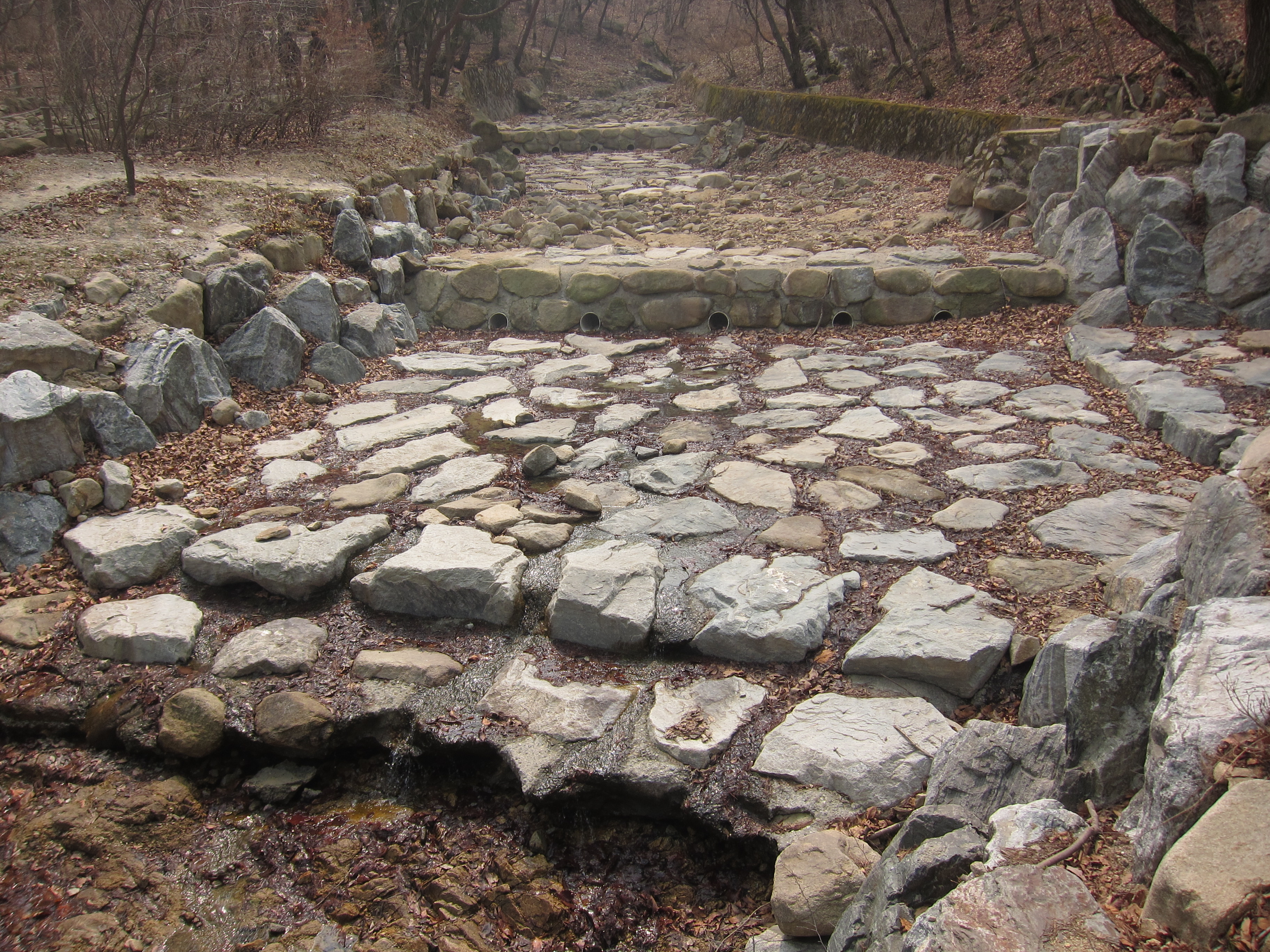
- There’s a stream coming off the mountain with a bunch of tents on the left bank. Cross the bridge and continue up the small road past the food vendors.
- Then you’re at the trailhead.

Reaching the peak was like I have been hiking for 2000 + ft above the sea level, That’s awesome, Don’t’ miss this chance of hiking there if you need any information drop me a letter 🙂 Love y’all.
Mostafa